Map Scale Explained: How to Read 1:24,000 Maps and Calculate Real-World Distance
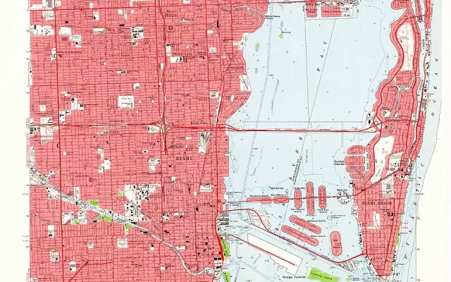
A 1:24,000 map makes one inch equal 2,000 feet on the ground. Learn map ratios, scale bars, printable-map accuracy…
 LATEST NEWS NEXT-GENERATION MOBILITY
U.S. student geography lessons on latitude, longitude, coordinate reading, map scales, hemispheres, physical geography and digital mapping, supported by authoritative NOAA, USGS and NASA resources with solved examples.
A 1:24,000 map makes one inch equal 2,000 feet on the ground. Learn map ratios, scale bars, printable-map accuracy…
Quick answer: On a topographic map, contour lines connect places at the same elevation. Lines packed closely together usually…
Learn latitude and longitude, the Equator and prime meridian, N/S/E/W coordinates, degrees-to-decimal conversion, with worked examples and a student…